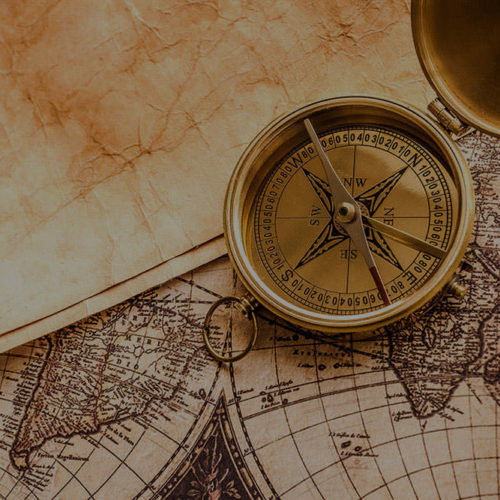
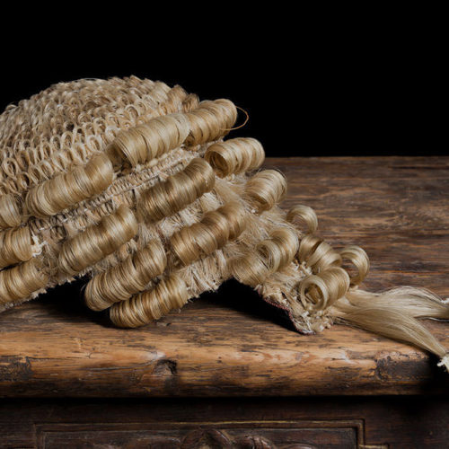
Throughout history, maps have been made and used in different ways and for different purposes. They can be seen as cultural artefacts, artworks, sacred objects and tools for wayfinding. Often their purposes are legal – they can be used to administer property regimes, resolve proprietary disputes or make territorial claims. But what about the laws that regulate the maps themselves, that decide who can own them or who can distribute them? This website explores these questions, juxtaposing images of maps with the legal documents intimately involved in their creation and circulation.
The website forms part of a project investigating the history of cartography and the history of copyright law. The project seeks to evaluate the relationship between the legal regime of copyright and the production, dissemination and use of maps, charts and plans in the 18th and 19th centuries in the United Kingdom and Australia. This website makes available a selection of archival, manuscript and cartographic sources located and analysed as part of this project. By making available the key materials located for this project, the website hopes to open up space for new explorations and perspectives on the history of both copyright and cartography.
