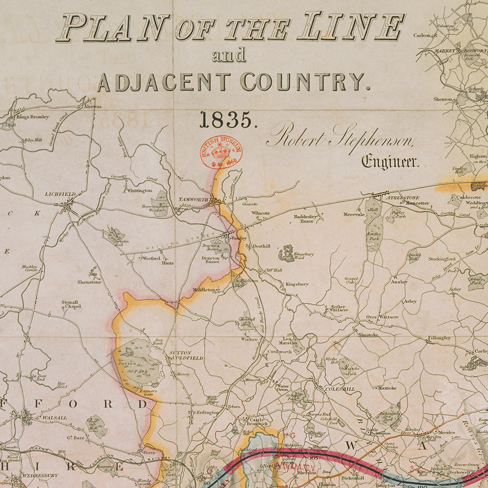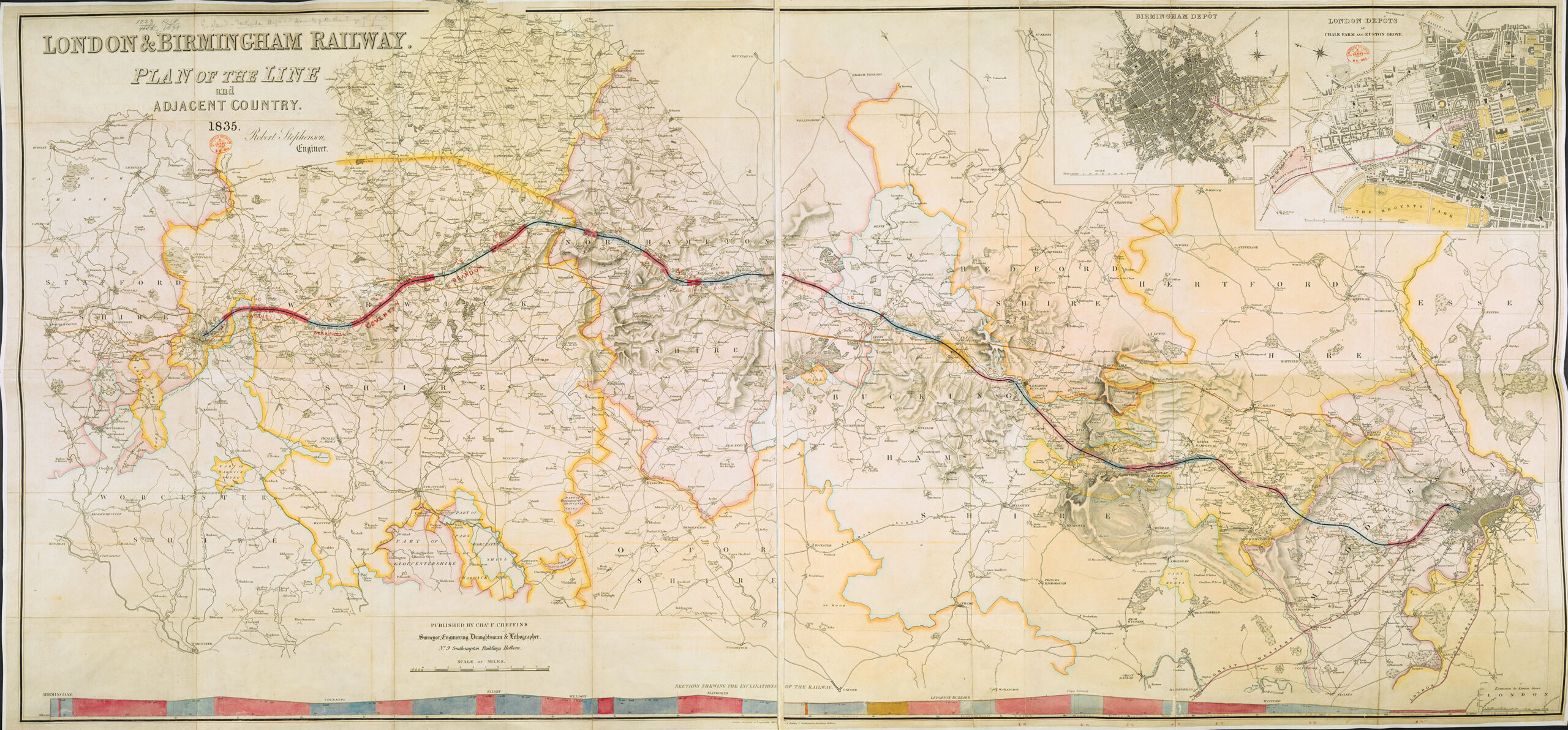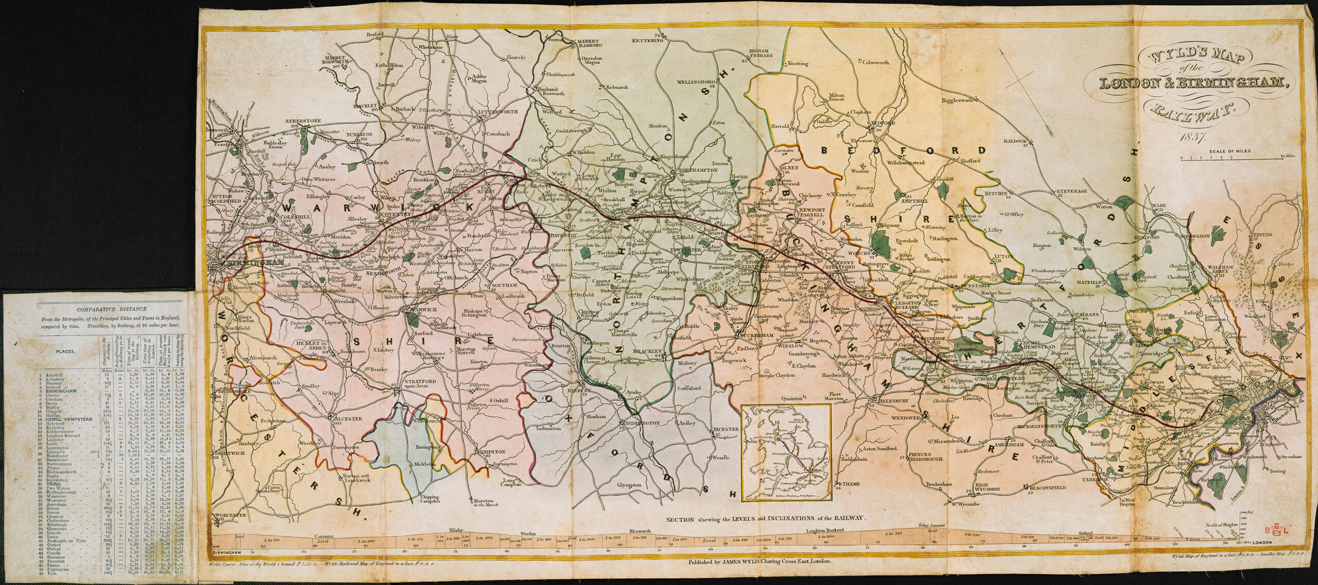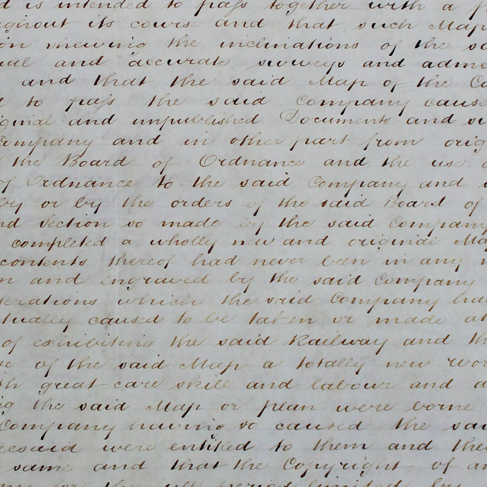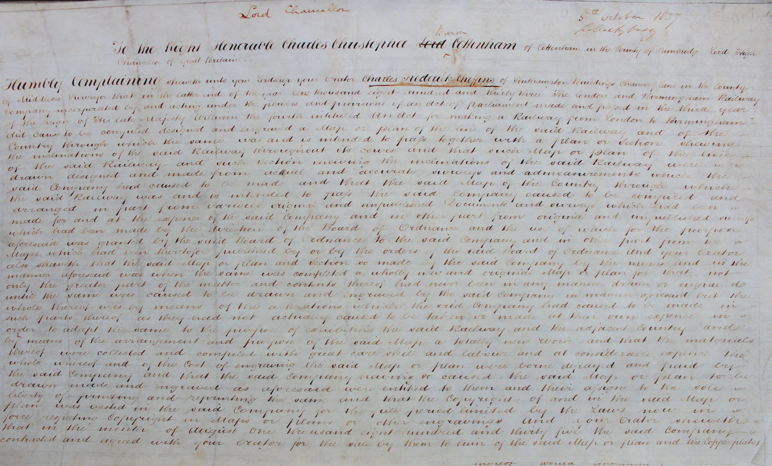

The dispute between civil engineer Charles Frederick Cheffins and London mapmapker James Wyld took place at the height of British railway fever in 1837. The London and Birmingham Railway was to be the first major railway line into London and Cheffins had contracted with the Railway Company to purchase their map plans, copper plates and Copyright. After making several changes, Cheffins published the revised map on 10 September 1835 and sent copies to Wyld to be sold or returned within 6 months as was the custom of the trade. On 5 October 1837, Cheffins brought an action against Wyld in the Court of Chancery after he discovered that Wyld had used his access to the map to publish his own work entitled ‘Wyld’s Map of the London and Birmingham Railway’.
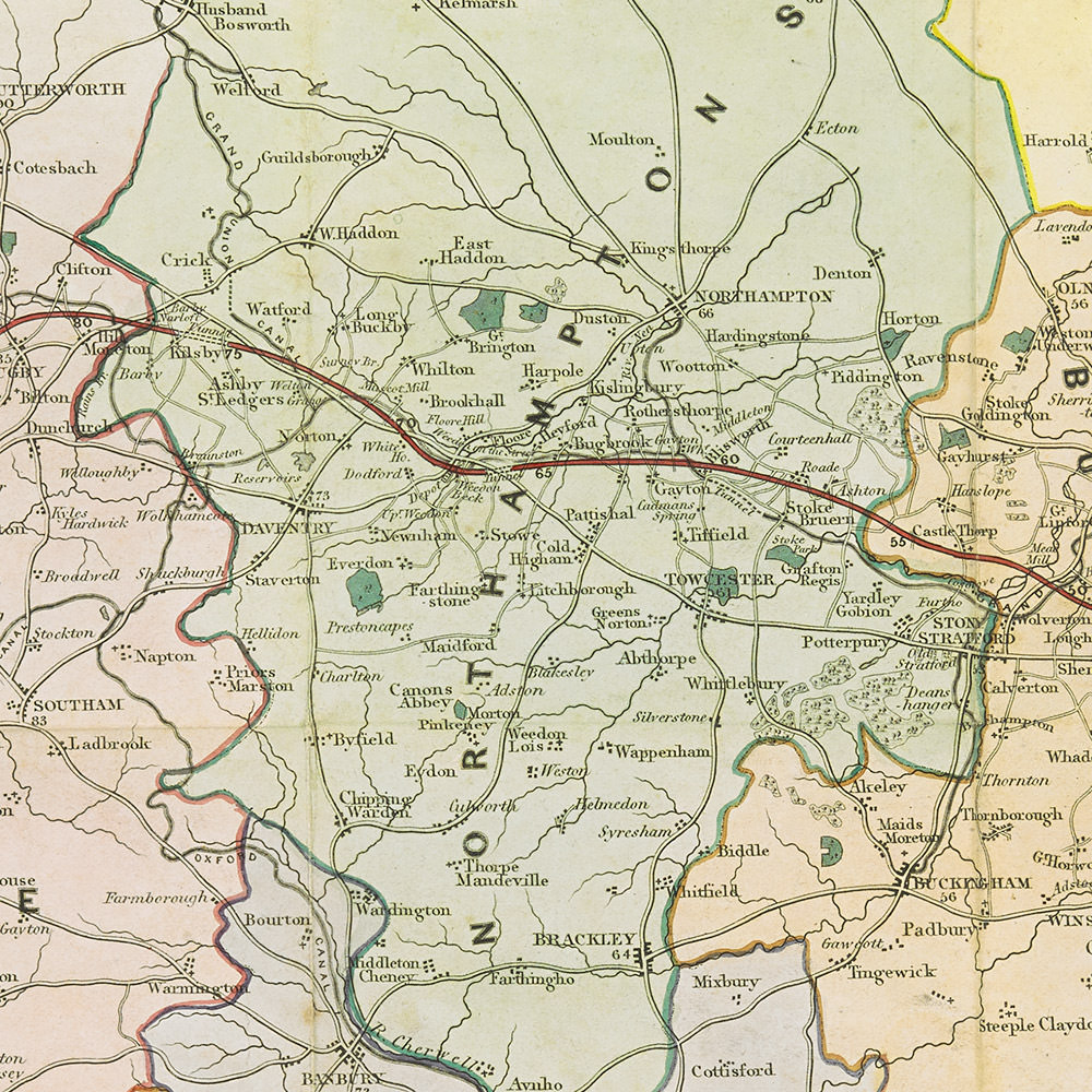
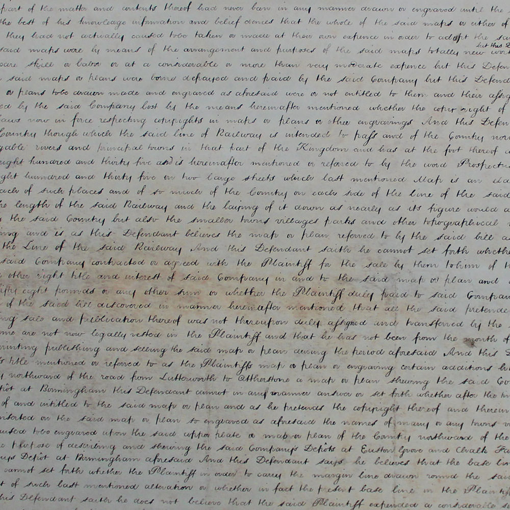
Cheffins argued that because the London and Birmingham Railway Company had caused the map plan to be drawn, made and engraved, the copyright was vested in that Company until he purchased it for £158. A new copyright arose when Cheffins published his own version of the map with several changes. Cheffins had expanded the map northward and added the names of many towns, villages and places which had not previously been on it. While Cheffins acknowledged that there were small differences between Wyld’s map and his own, he argued that these differences were ‘merely colourable’ and designed to conceal Wyld’s copying. His strongest evidence of copying lay in some of the specific choices he had made, such as the inclusion of a base line that was added to increase the map’s margin. A further piece of ‘conclusive evidence’ was a line drawn on Wyld’s map which represented a ‘mere blunder’ and could not have been made unless someone copied it from another map. Cheffins alleged that Wyld had been selling his map for a much lower price than his own and if allowed to continue it would destroy the value of Cheffins’ copyright .
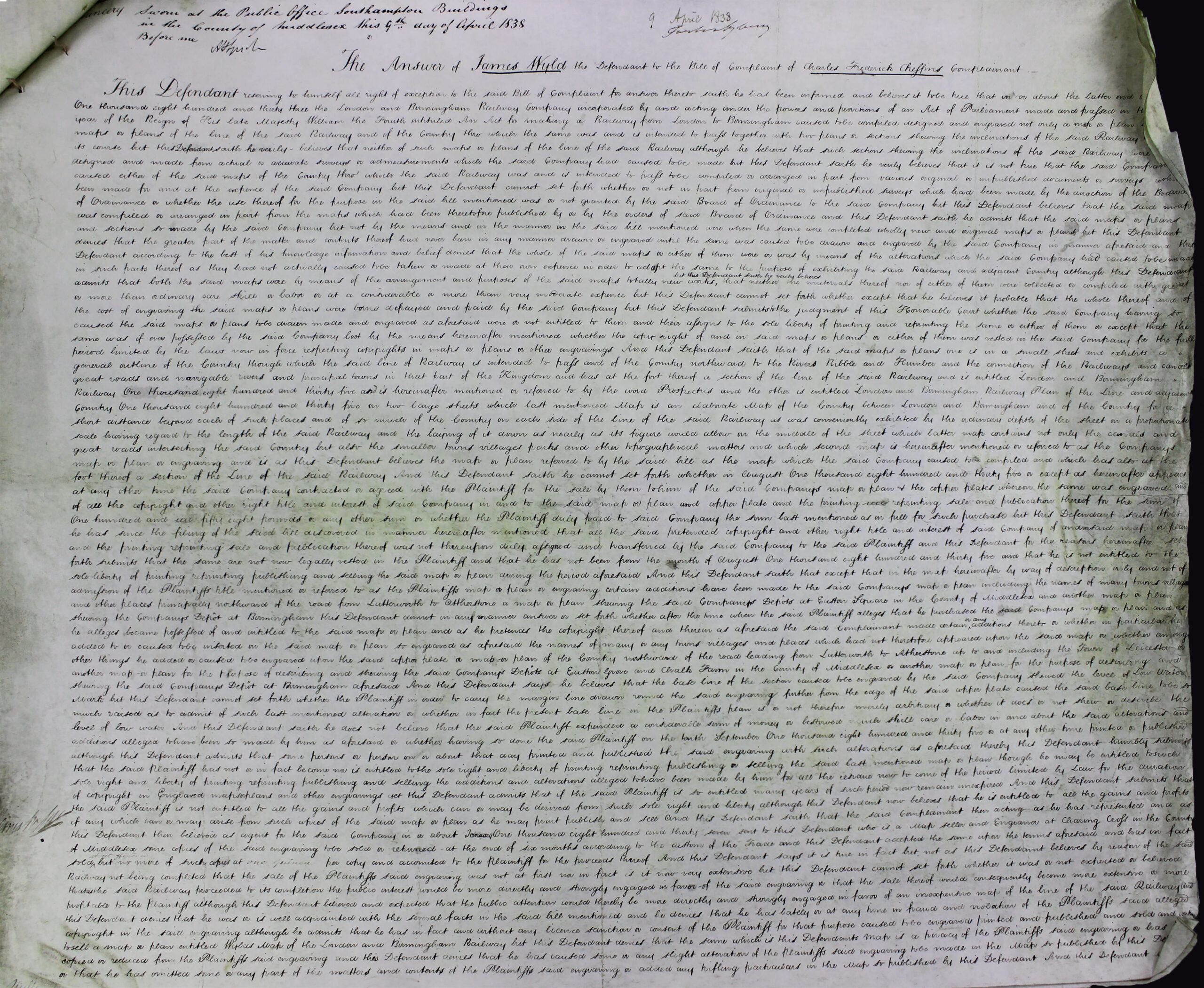
Wyld responded by first attacking Cheffins’ title. Wyld disputed Cheffins’ claim that in altering the Company’s map plans Cheffins ‘expended a considerable sum of money or bestowed much skill care or labor’ in making the alterations and additions. There were ‘various inaccuracies’ with the lengths of roads and distances of towns. Although Wyld admitted to copying some of the information from Cheffins’ map, he argued that it was used as merely one of many sources to compile his own map. Other sources included a map of England published by his father, Ordnance Survey maps and maps published with the prospectuses of railways. Wyld also admitted that although he sold several copies of Cheffins map for a guinea, the sale of his own map would not interfere with Cheffins’ because they were designed ‘for totally different purposes’. Cheffins’ National Atlas was ‘an elaborate map for scientific purposes’ whereas Wyld’s map was ‘a small pocket map for the use of travellers and general reference’.
The result of the case is not known as there are no further legal records, but it seems likely that the parties settled.